TELEDYNE TECHNOLOGY IN ACTION

Measuring the Hostile Ocean Beneath Hurricanes

Global concern about Earth's changing climate has thrust severe storms into the spotlight, especially hurricanes and typhoons. Accurately predicting a storm's landfall and strength saves lives and reduces unnecessary defensive expenses.

Significantly improved forecasting of a tropical storm’s intensity - the indicator of its devastating impact, comes from accurately knowing about subsurface water temperatures along the storm's path. For the last decade, Slocum gliders from Teledyne have monitored the challenging waters associated with severe storms, sending reports even while encountering waves exceeding 10 meters in height. In fact, the U.S. Navy often has 50 Teledyne gliders deployed worldwide that transmit data for ocean weather forecasting.

Teledyne Slocum diving

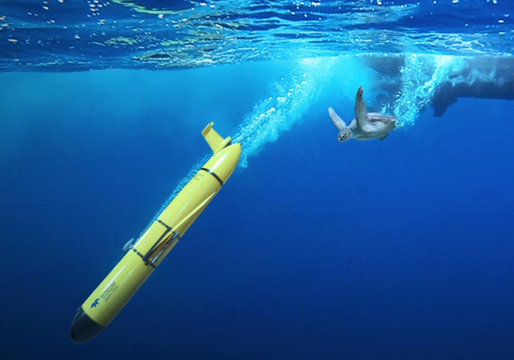
Teledyne Slocum G3 Glider begins journey towards super storm.

Ocean storms

Storm data collected using Teledyne technology.


For storm monitoring, Slocum gliders continually patrol a designated transect. The gliders measure temperature, salinity, and other properties while they descend and rise through the upper ocean. The gliders surface periodically to send their measurements to storm-forecasting centers. This subsea data is input to computer models that output predictions about a storm’s intensity and trajectory. The accuracy of these computer predictions has improved due to the data from Teledyne gliders.

The success of using Slocum gliders for storm monitoring is apparent from the growing size of the fleet. In 2018, more than thirty gliders were on duty for observing hurricanes Florence, Isaac, and Helene. Participating glider organizations came together from government, academia, and industry in a team effort to use technology to better protect coastal communities. ​​